
Falling Upwards
Perspective is a funny thing.

It’s a classic scene. A couple of people laying on the grass looking up at the clouds or stars making their pilgrim way across the skies. I’m sure that at some point you yourself have done the same. Perhaps you enjoyed the gentle breeze swirling around you on a warm summer’s day. Perhaps you pondered the meaning of life, or remembered Timon and Pumba’s debate about what the stars really are (fireflies, or great big balls of gas, or even the souls of our ancestors). Perhaps you find yourself dozing off for a nap.
It’s something I’ve done many times over the years, but I’ve never quite felt like I was looking “up”.
Let me explain, it’s not that I don’t know which way is up or down and I’m not - on this issue at least - being intentionally contrarian. Rather, when I lay on the ground and look at the sky I tend to become acutely aware of my body pressed against the ground and of the vastness of the sky such that I often feel as though I could fall into the sky! It’s as if gravity is a safety mechanism which keeps us tethered to the Earth and prevents us from ‘falling’ upwards.
I say ‘falling’, because when you pause and think about it so much of our language is filled with implicit assumptions and perspectives. We look ‘up’ to the sky which is ‘above’, while the earth is ‘below’. It’s only when we come to try and express the (potential) sense of ‘falling up’ that we notice the directionality within our words. Terms like ‘up’ and ‘down’ make sense when we define the world around us in relation to our bodies, such that ‘up’ is headwards and ‘down’ is feetwards. But what if up and down are more like left and right, which many people naturally confuse on a regular basis?
These are questions which have only more recently been explored with the advent of space travel, particularly with astronauts spending protracted amounts of time on the ISS. But it was Arthur C. Clarke who presented my first exploration of this idea in his novel Rendezvous with Rama. The premise is that in 2131, a 50-20 km cylindrical spaceship has appeared within the solar system. A human solar survey ship called the Endeavour intercepts and explores the ship, its builders mysteriously absent. During this exploration a large ladder has to be navigated.
In his mind's eye, Calvert knew perfectly well what lay there. First there was the flat circular plain over a kilometre across. Trisecting it into three equal parts, and looking very much like broad railroad tracks, were three wide ladders, their rungs recessed into the surface so that they would provide no obstruction to anything sliding over it. Since the arrangement was completely symmetrical, there was no reason to choose one ladder rather than another; that nearest to Airlock Alpha had been selected purely as a matter of convenience.
Though the rungs of the ladders were uncomfortably far apart, that presented no problem. Even at the rim of the Hub, half a kilometre from the axis, gravity was still barely one thirtieth of Earth's. Although they were carrying almost a hundred kilos of equipment and life-support gear, they would still be able to move easily hand-over- hand.
Commander Norton and the back-up team accompanied them along the guide ropes that had been stretched from Airlock Alpha to the rim of the crater; then, beyond the range of the floodlights, the darkness of Rama lay before them. All that could be seen in the dancing beams of the helmet lights was the first few hundred metres of the ladder, dwindling away across a flat and otherwise featureless plain.
And now, Karl Mercer told himself, I have to make my first decision. Am I going up that ladder, or down it?
The question was not a trivial one. They were still essentially in zero gravity, and the brain could select any reference system it pleased. By a simple effort of will, Mercer could convince himself that he was looking out across a horizontal plain, or up the face of a vertical wall, or over the edge of a sheer cliff. Not a few astronauts had experienced grave psychological problems by choosing the wrong coordinates when they started on a complicated job.
Mercer was determined to go head-first, for any other mode of locomotion would be awkward; moreover, this way he could more easily see what was in front of him. For the first few hundred metres, therefore, he would imagine he was climbing upwards: only when the increasing pull of gravity made it impossible to maintain the illusion would he switch his mental directions one hundred and eighty degrees.
Extract from Rendezvous with Rama. - Emphases mine.
Mercer’s choice would later make an impact on the story, but it raises an interesting question for us about our sense of perspective and the assumptions which shape them. There’s a couple of different ideas which are on a similar theme that often crop up when I talk about this with friends.
One is the question of North and South.
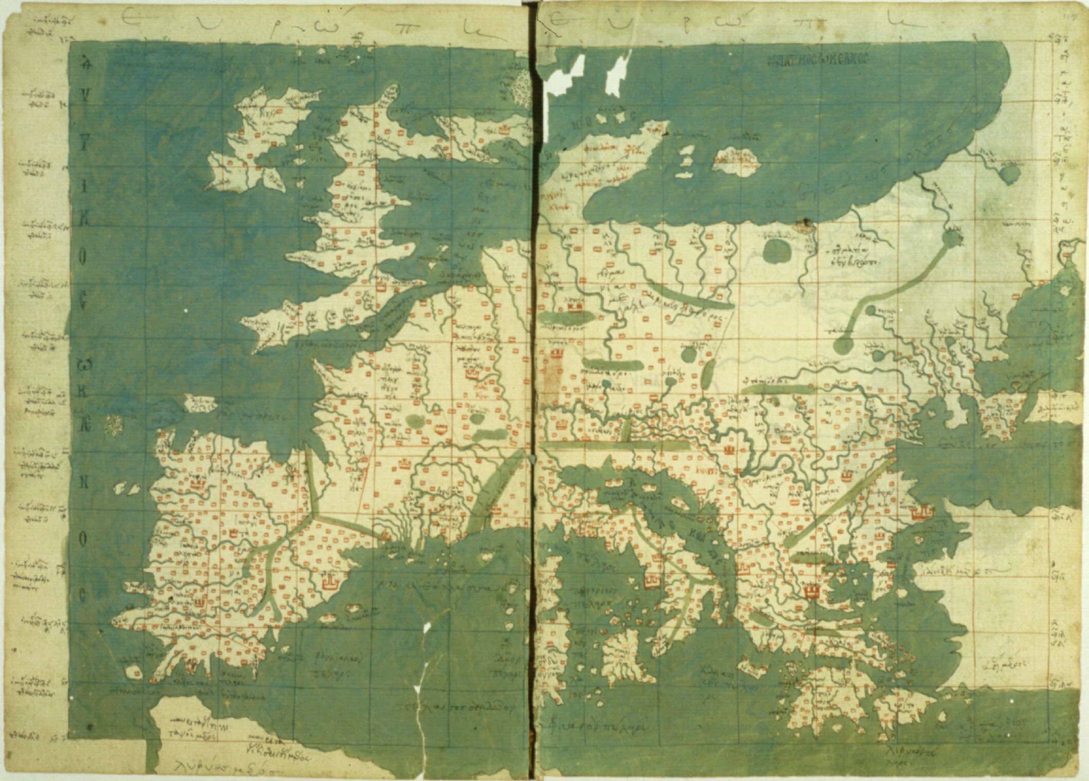
We have been conditioned by historical precedent and cartographical traditions to visualise the world first as a rectangle, and only second as a globe; that’s the developmental journey which maps have undergone. When constructing maps it made sense to first orientate them in relation to Polaris, the North Star. This granted them a consistent point of reference which enabled large scale navigation and mapping. In the northern hemisphere this combined with the geography of the Mediterranean, Europe and also western Asia* and the daily movement of the Sun from East to West meant it made sense to construct their maps on a horizontal plane with the North star at the top of the map. We’re all familiar with the expression ‘here there be dragons’, written on a handful of old maps in the hitherto uncharted and unexplored areas of the world. If you’ve ever played Sid Meier’s Civilisation games, or Age of Empires or other 4X (Explore, Expand, Exploit, Exterminate) strategy games you’ll be familiar with the ‘fog of war’ mechanism, which hides the surrounding area with ‘fog’ until you explore it and discover what’s there. This same principle happened within cartography. People explored, and they expanded their maps and tried to at least indicate where the edges of their maps related to the known and established areas. This process, which happened quite naturally and organically, led to both the New World of the Americas and also the lands of the southern hemisphere being mapped as an expansion of the more established North-orientated* maps of Europe and the Mediterranean.
I can’t help but wonder, what would maps have looked like if they had begun in the southern hemisphere? Rather than focusing on Polaris, what if they had focused on the Southern Cross which points the way to the celestial south pole? The terrain would be the same, but the now familiar shapes and ‘silhouettes’ of the countries of the world would be ‘upside-down’. (I’m not the first to ponder this by any means, but I would protest that I did ponder this independently!) One famous example of this kind of map is the McArthur Universal Corrective Map of the World.

If, then, the world were the same but reversed, which orientation would be the right one? In a sense the correct answer is: the one which helps you to navigate and plan your logistics, whether than be for trade, exploration, mission, or war. But the more interesting answer is: there isn’t a ‘right’ answer to this specific question.
However, when it came to constructing the first globes** I’m unaware of (and couldn’t find) any discussions as to whether it should be North or South pole ‘on top’. I suspect that they simply continued the same orientation which was familiar to them, indeed the oldest extant globe we have, the Erdapfel from the 14th Century, places North at the top. This despite the fact that historically globes were not used for navigation but as status symbols.
The physicists amongst you may remember that there’s another pair of poles which are important to us in many areas of our lives which at one time it seemed to make no odds which was called what. These were the electric poles, which we call positive and negative - as on a battery. Electrical polarity was labelled prior to our understanding of atoms and electrons. + and - were arbitrarily chosen, and it later transpired that electrical charge in a circuit flows from the negative pole to the positive one - which can be somewhat counterintuitive at first glance.
My question, then, is how do we know we got it the right way around?
More than this, shouldn’t it be the other way around?
My logic is non-scientific but simply my gut instinct based on looking at a globe or world map. Two thirds of the landmass is in what we call the Northern Hemisphere. Surely - and I know this isn’t how it works but hear me out - surely the density of mass should gravitate towards the ‘bottom’ of this globe that’s spinning in space? Ergo the Northern hemisphere would be the bottom half of the globe and the less cluttered, less dense Southern hemisphere, and thus the South Pole, should be at the top.*** Well, that makes sense to me.
There’s one last laterally connected concept which has often intrigued me - and again is founded on my own experience - which it would be fun to mention.
I can’t comprehend the idea of upstairs or downstairs.
I know this is odd, so bear with me. I completely understand that my house has stairs and that my bedroom is above the living room. But when I’m in my bedroom, my mind has no other frame of reference and so treats reality as if I’m standing on the ground. The idea that my wife might be sat on the sofa several meters below me makes far more sense as a written sentence right now than it does intuitively as I’m standing in my bedroom. My room in university halls was on the middle floor of three, with a bedroom to the right, left, and above, and a corridor below. I understand that to be the case. But until I left my room, or looked out of the window, it didn’t make sense to me. In my defence, I think this is an extension of an often ignored philosophical problem which frequently makes my head hurt, especially when being on the London Underground; that is, the ‘problem’ of other minds.
Perhaps you’ve had a similar experience. The train is busy and possibly running late and your mind is filled with everything that you’ve had to deal with today, or perhaps you’re planning what you’re going to cook when you get home. The people around you are anonymised, except for that one guy you’ve never spoken to but whom you often end up on the same train with as your journeys regularly sync up. It can be easy to withdraw within yourself and immerse yourself in your own mental world as if you’re the only real person on the train. Perhaps like me you notice this, and then try and visualise the same depth of your own experience of life as you ride the train happening in the heads and bodies of each person in your sight. It’s hard enough to imagine in one person, but you can maybe imagine a kind of artistic thought bubble for one person. Maybe two. Yet when you look at the other 30 or 50 or more people in the carriage the sheer depths of human experience rushes beyond the amount you can conceive of and seems nigh on infinite - and overwhelming.
A similar experience, though less intense, is the depersonalisation of others when driving. I certainly find that I tend to gauge what’s happening based on the cars on the road, rather than the people in the cars. There’s that subtle transitional grey area where you’re driving a car on and around the physical world and then driving the car within the system of lanes, traffic lights and speed limits. Motorways are a prime example of this, you correct your steering to remain within a lane rather than as a precise left or right turn over the physical ground. Although we never leave the physical world, the act of driving really occurs within a socially agreed construct overlayed on the world, which both helps us to navigate the world while distancing us from it.
And that’s the distinction which baffles me; the ever so slight disconnect within the differentiation between reality and the concepts which we use to navigate reality.
Having noticed it, you can’t help but revert back to that child-like curiosity which the world around us tries so hard to snuff out as we ask: why?
Perhaps, like Mercer facing his ladder, we need to ask ourselves more often whether our assumed perspective is the most useful one for navigating the situations we’re presented with. And I’d suggest that even if we decide in the end that our original perspective is the most useful one, it will be a richer one for having taken the time to explore the alternatives with an open mind.
Next time you have the opportunity, lie on the ground and look at the sky and wonder whether you’re looking up or down?
With every blessing,
Samuel S. Thorp
Husband | Priest | Wanderer
@SamuelSThorp
Subscribe to Notes from the Pilgrim Path
* Interestingly, China has a long history of drawing maps orientated south.
** Globes are recorded to have been made by the Ancient Greeks, though none now survive. It is likely that, as virtually all globes we’re aware of, they followed the conventions of the maps of the day and it’s known that Ptolemy, the “Father of Geography”, put the North at the top.
*** Though, of course, our means of determining North for navigation has now shifted from the celestial to the magnetic and we are often not cautious about differentiating which we are referring to. What would happen when, and it seems to be a question of when, the magnetic poles shift? Would we reorientate our maps and globes to change the location of the poles? Well, the globes should remain the same unless the tilt of the Earth’s spin were to somehow also shift as the north/south divide is primarily not a question of navigation and poles but rather reflects the rotation of the earth as noticed by the apparent movement of the Sun. But maps? Do we need to retain the old alignement? After all, many of us use Satnavs/Google Maps etc such that the map rotates around the orientation of the car as it moves along the road. Perhaps instead of a static orientation a dynamic solution would be more helpful? It’s interesting to ponder.
Subscribe to Notes from the Pilgrim Path
